Sher and I were driving in our motorhome on the far east side of Tucson, following Tanque Verde Road, one of the main east-west routes. As we approached the foothills of the Rincon Montains the road became Reddington Road. We kept on driving enjoying looking at the houses, horse ranches and the scenery.

The dirt road at its widest
The road narrowed but I kept on, and soon there was a sign for curves, one of which was a 5MPH curve warning. This curve led to a steep, steep climb. At this point turning around was not an option.
The next thing we saw was a sign for the Coronado National Forest and the change from paved road to dirt/gravel road. No way to turn around, and no idea what was ahead. When a small truck came down the road towards us I flagged the vehicle down. The lady inside informed me that less than a mile up the road was a parking area where we could trun around. Whew!
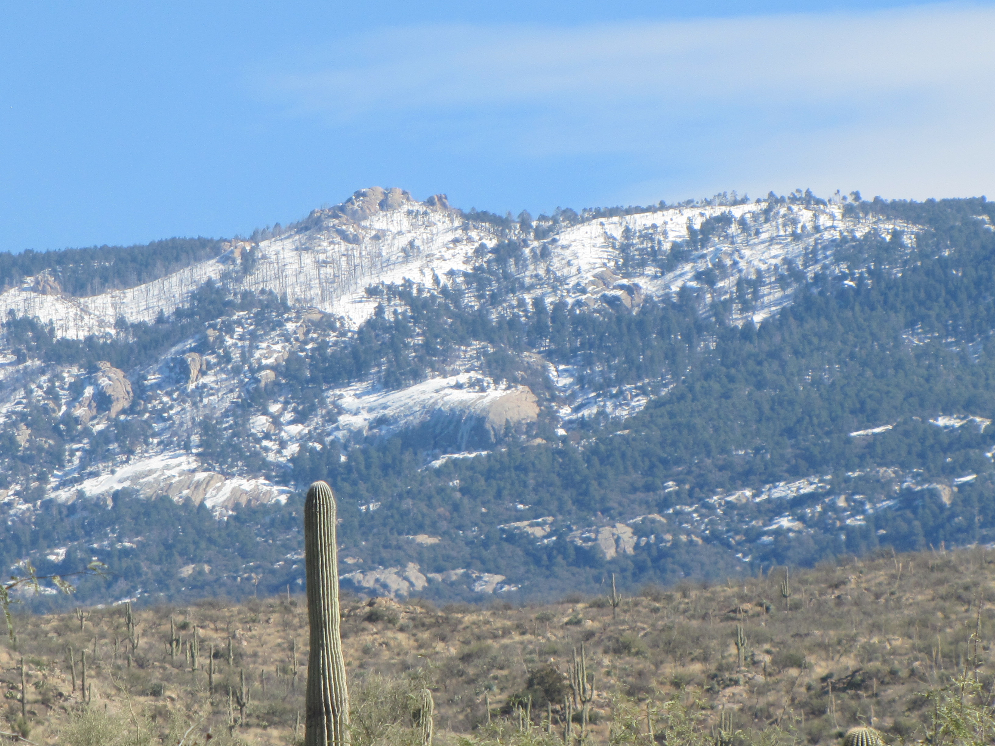
We got turned around and stopped to get out and admire the view. Hundreds of Saguaro cacti covered the landscape. What an impressive sight they were! We were in but a small portion of the 1.78 million acres of the Coronado National Forest which covers portions of Arizona and New Mexico.
Oh, and by the way, I won’t head out on a road leading into the mountains again without doing some research!

Lots of Saguaro