We made it through the snowstorm without any calamities. Central Indiana had tons of snow but avoided any freezing rain or sleet.
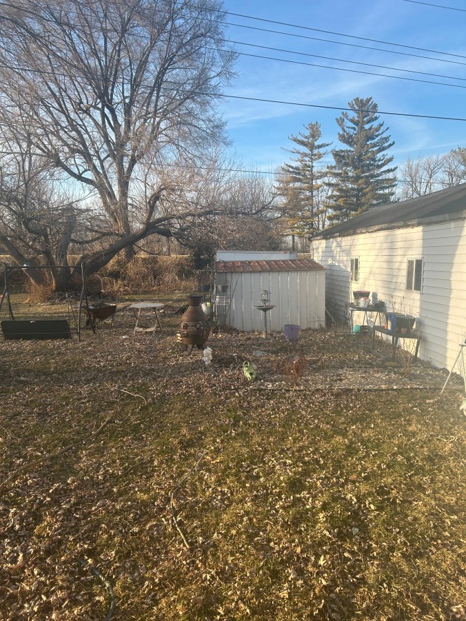
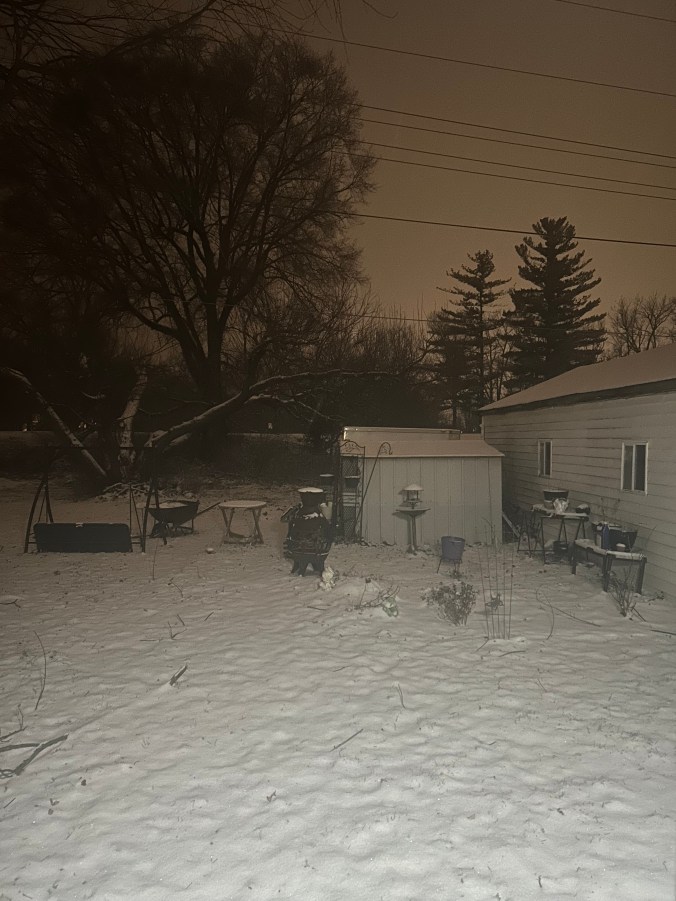
5 PM on Friday the 23 rd: Calm before the storm
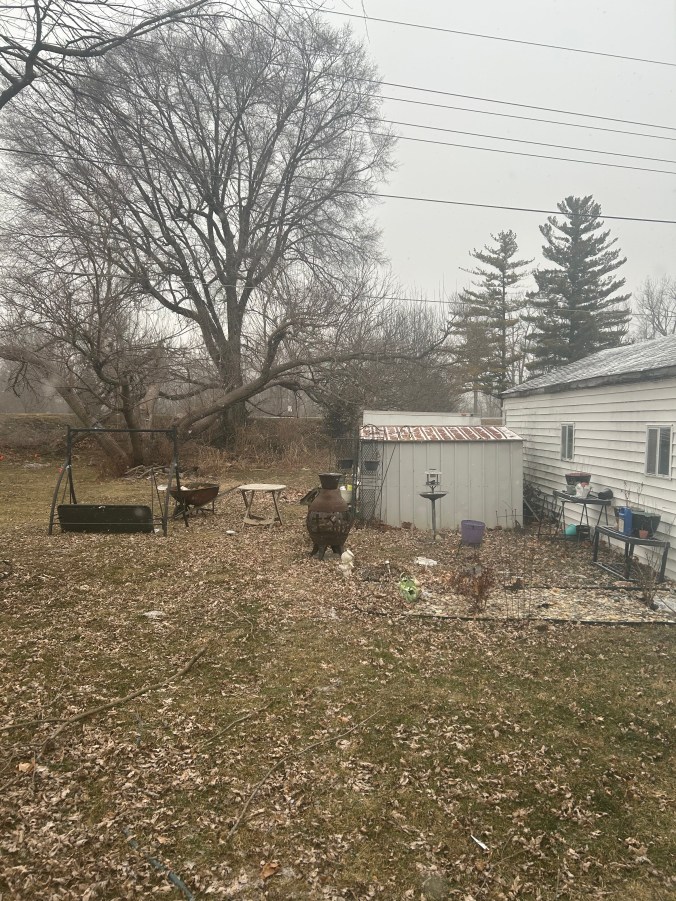
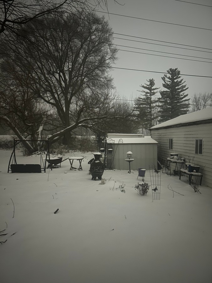
Noon on Saturday: some flakes are starting to fall
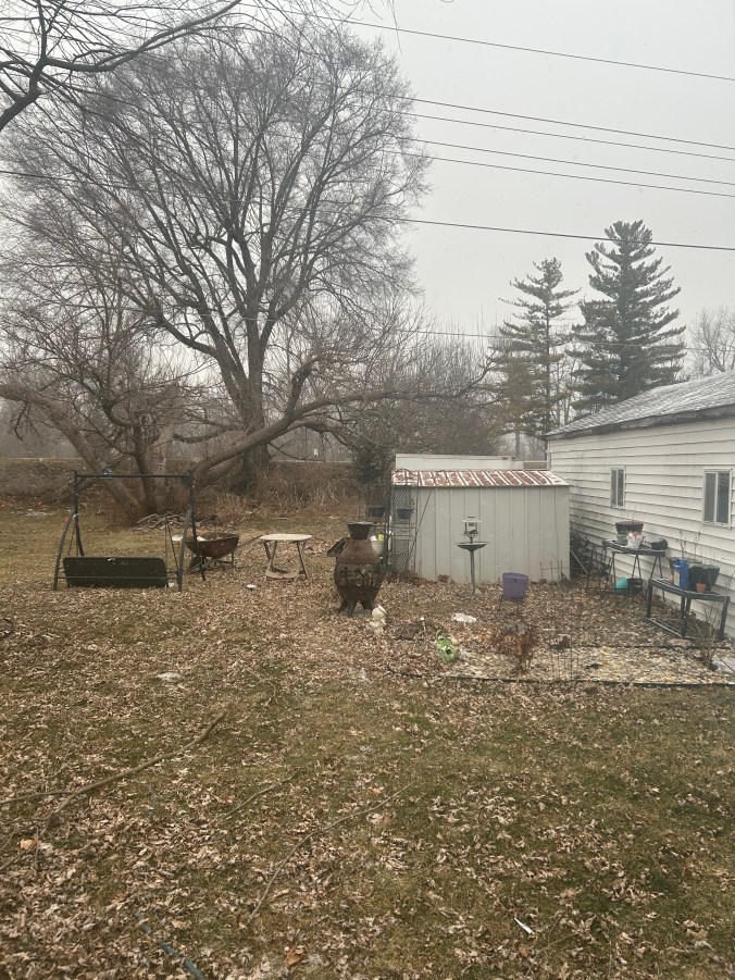
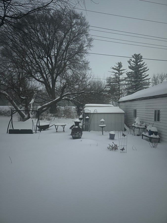
4PM Saturday Snow beginning to really come do0wn
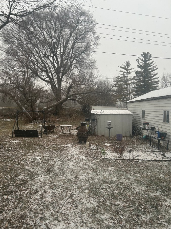
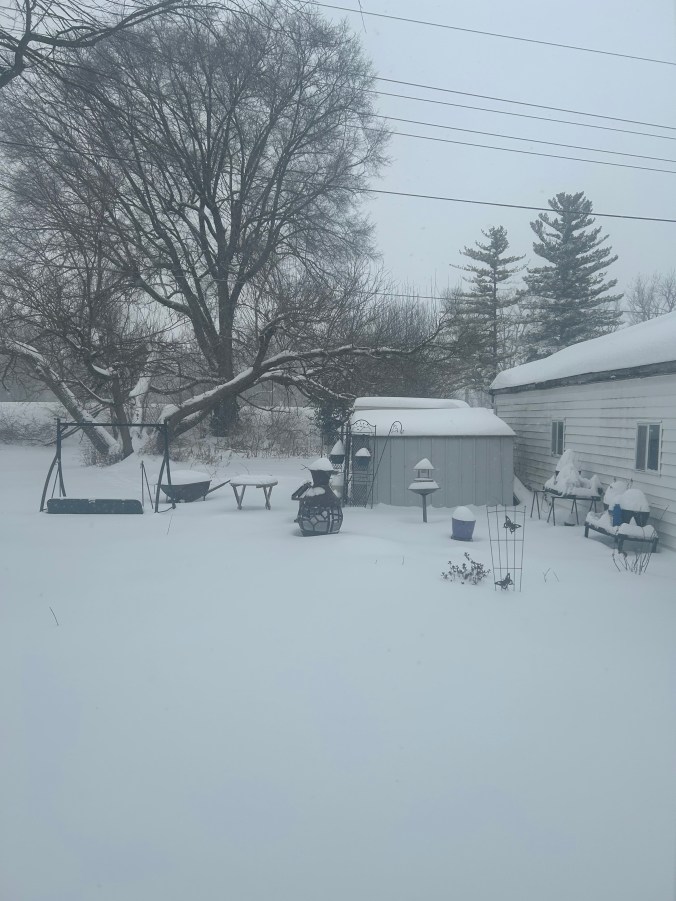
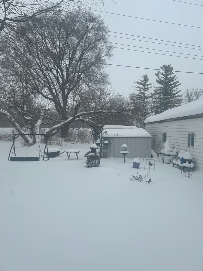
5 PM Saturday afternoon, Starting to accumulate.
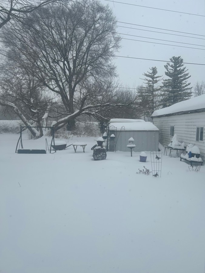
7 PM Saturday, starting to add up quickly
1 AM Sunday the 25th, Cold snowy night!
7:30 AM Sunday Morning, still snowing fast and furious
11:30 Sunday morning.
Sunday 2 PM, Snow fall continuous, very fine small flakes
4 PM Snow rate slowing down, the end is in sight
The snow finally stopped, now we are looking forward to 7 days without any snow, but with single digit and sub-zero temperatures. The snow is over for now, but winter is still affecting Indiana.